


 Tweet
Tweet
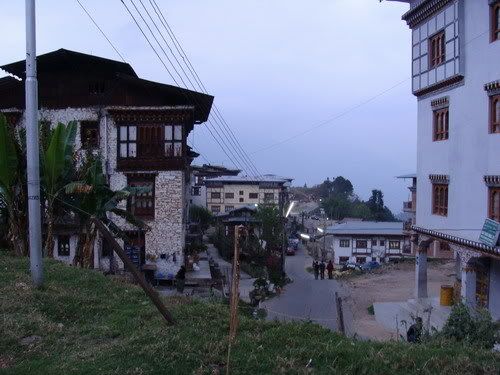
Day 27 - April 04 - Thimpu Paro Takshakt Thimpu
GPS Trail...
April04 - EveryTrail
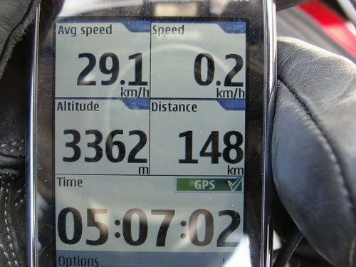
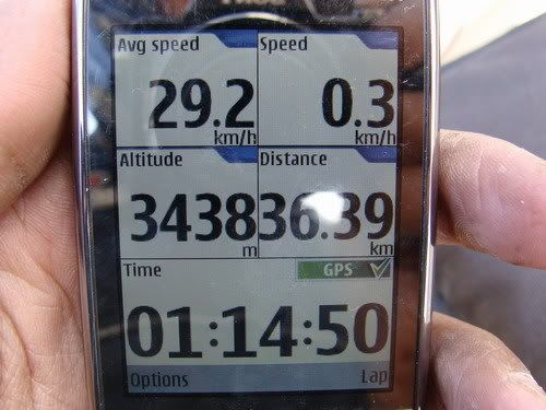
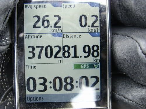
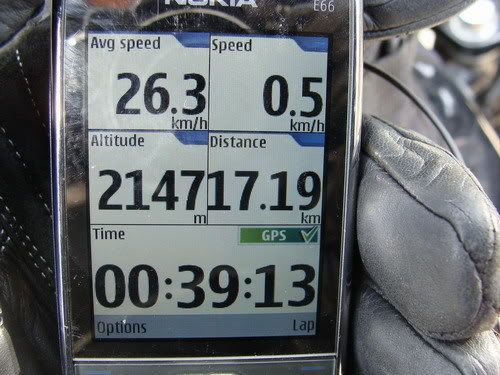
150 KMs
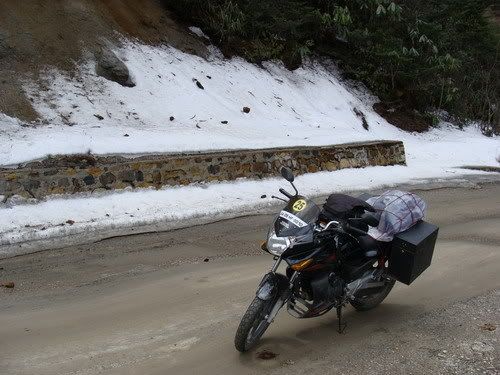
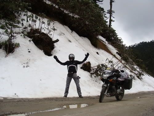
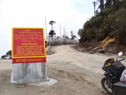
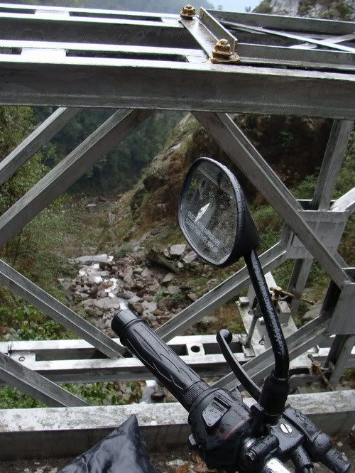
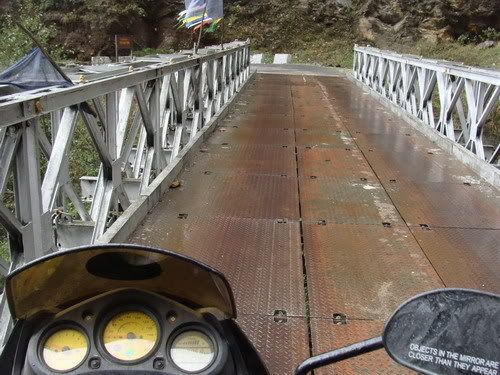
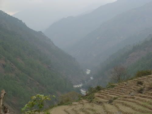
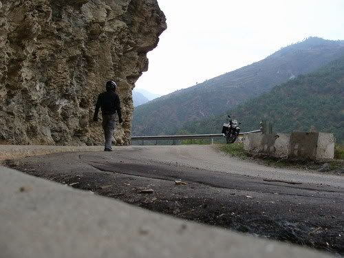
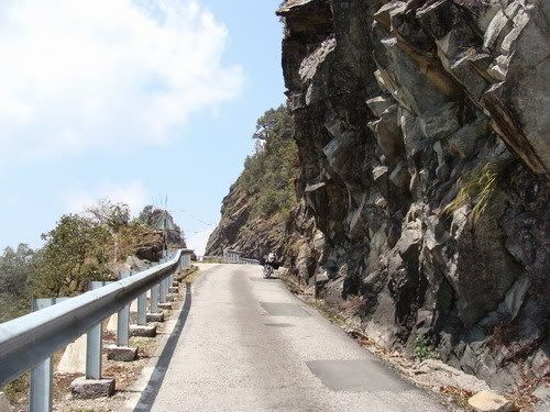
Though the plan was to get up early and start towards paro, now that i lost the fone, i needed to get a new sim, else dad would be too worried if no contact. wait till 9 Am for the shops to open get a replacement sim. Was still upset and distracted from the planning. Since it was already 10.30 by the time i got going, decided to skip Haa valley. First time i see sunlight in Bhutan as if to kinda cheer me up! Rode towards paro on the awesome road. Checked out the deviation to Haa valley and it would be like 140 KM round trip. With the 30 kmph avg speeds that happens in the hill country did not have the 4 hours required. Continue on towards paro and nonethe less beautiful roads and the landscape also dramatic. Getting to the magnitued of the hills on the clear sky. Cross the paro international airport. Did not stop at paro zongh as i was already late for the Takshakt. Which required like 2 our trek up.
After a confusion got on the correct road. Catch glimpses of the Geomba perched high up on the side of the cliff. Ride to the point where i have to park the bike and trek. See lot of vehicles already there and few people coming back. Just started walking with my riding gear. Big mistake i got sweaty in no time! This would cause too much discomfort later. The sun was also bright and the climb got steeper and steeper. What am i doing? i am no trekker and here i am carrying a heavy bag on the back and a riding jacket in one had and a bottle in the other. While i see the trekkers lightly dressed and with sticks. It got tougher and tougher for me. I was like going up with 6-7 inches steps! Thought will make it till the half way cafeteria have food and turn back as i was already hungry. Saw a mule and the handler going down but it had no seat i walk up slowly and find more and more tourists coming back down. Now i know i am not in regular time to visit the place. Non the less slowly make it to the half way point and there was a right to cafeteria, dunno what got into me, i just went straight ahead for the climb! Am i going all the way up ? looks like! The new woodland leather boots not really helping. Finally huffing and puffing i make to a point where we can clearly see the monastery and got exited too soon. Now there are like hundred are more steps to climb down and again up! You gotta be kidding me. At least getting down will be easy and will see later.
Me not much of a trekker this was really strenuous for me. I make it to the main entrance in like 2 hours from the base. Then i flash my permit to enter. The army guard tells me he needs a Xerox, so i should go down and get it. I laughed and said thats not going to happen, no way i am going to do the climb again! Then he made an exception and allowed me in, but cam and fone not allowed. I went in famous monastery all the way to the sanctum sanctuary and it really felt peaceful inside. sat there for a couple of mins and its time to move back. Its already 3 pm. Collect the pure mountain water into a bottle and start my walk back. get down the first section of steps and now have to do the climb. It was painful i mean painful and i had no choice but to get on with it. After gathering all the energy i climb up all the steps and its decent from now on. I sit there on the platform, resting my back and staring at the mountains and cool breeze. I catch sleep and even start dreaming! Was like half hour when i woke up! It was a very nice power nap! Thought it was going to be easy decent then on but i was wrong. Getting down is not easy as well. Its quite tiring. Even foot hurts cos of the new shoes. on the way i see these sovaneer seller women playing target practice. Basically kept a wooden piece a lil far and throw projectiles at it. It had a sharp edge at the front of the wood and even a direction stabilizer fins at the back! Taking a few pix i continue.
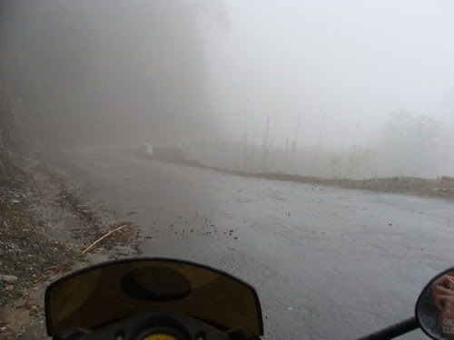
By now i am all alone as most of the people who come here do it in the morning so as to avoid possible rain in the evening. But not me almost down it rains! To tired to get into the rain gear take shelter under a tree. Luckily the rain stops soon and get to my bike. Ride till the paro town for some food. Damn am i hungry. Found a nice neat lil hotel calls Travelers hotel! Steamy veg momos and fried ride for me. Have to get to Thimpu now and its past six o clock. 53 kms easy is it? Its cold and i mean really cold, especially since the road was good and tended to speed up. Pack properly with what all i had and make a quick ride to Thimpu. The riding gear which had caught sweat in the morning trek now causing shivers inside. Trekking and biking dont mix!. Any sweat in the riding gear will be very taxing as the temperature goes down. After reaching Thimpu, should have got on to updating the travel dairy, but the fone episode still haunting me so just slept for the day.
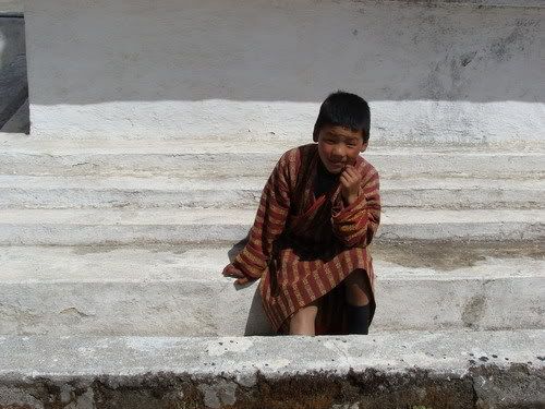
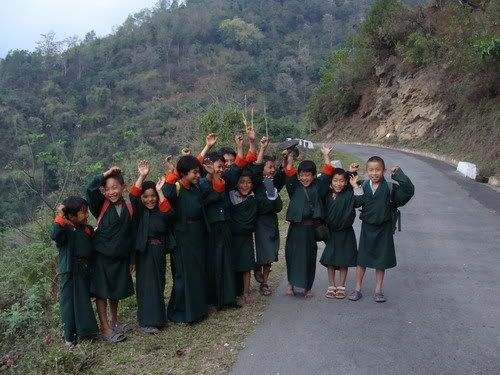
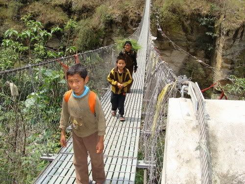
Activity in a school...

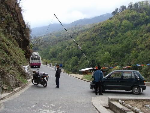
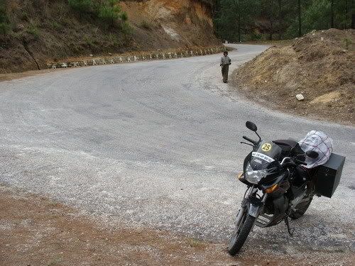
The direction notifier Girl!

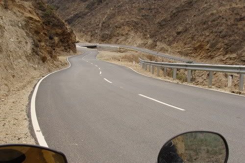
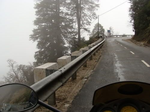
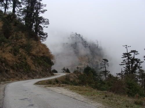
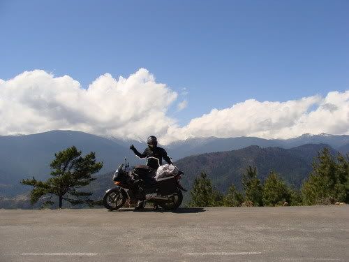
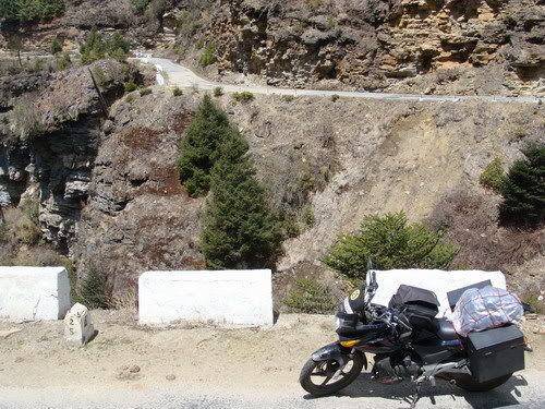
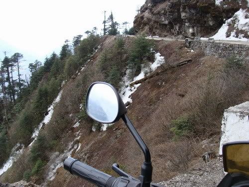
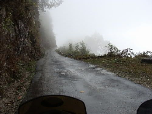
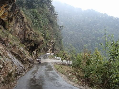
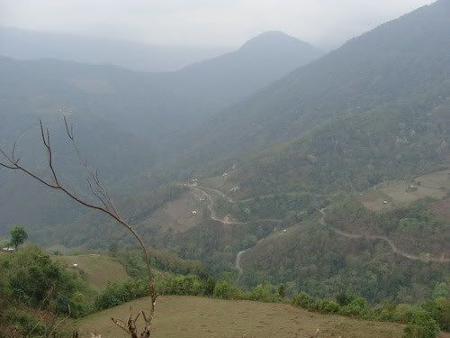
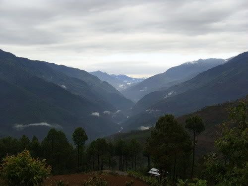
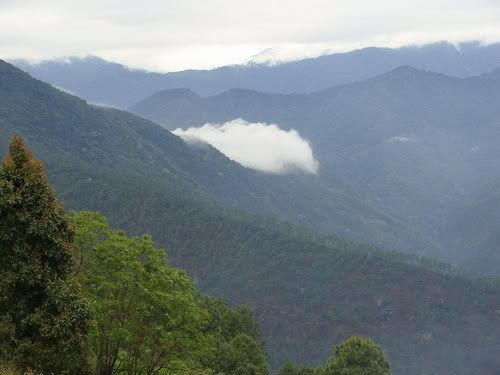
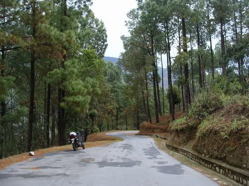
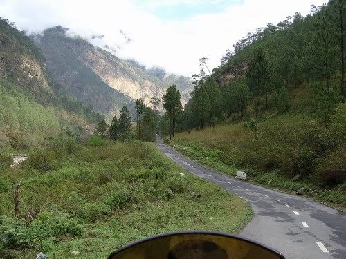
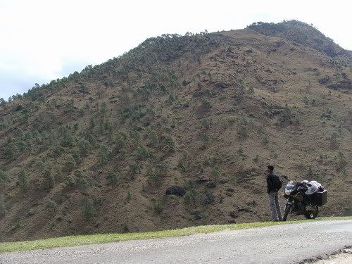
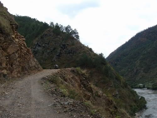
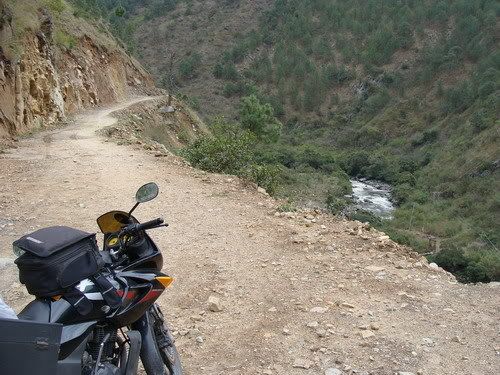
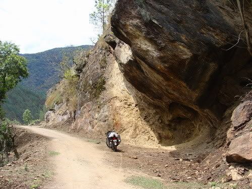
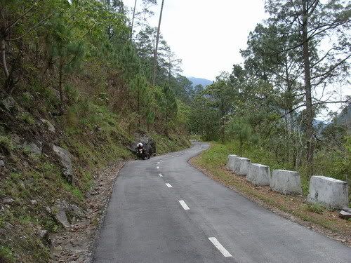
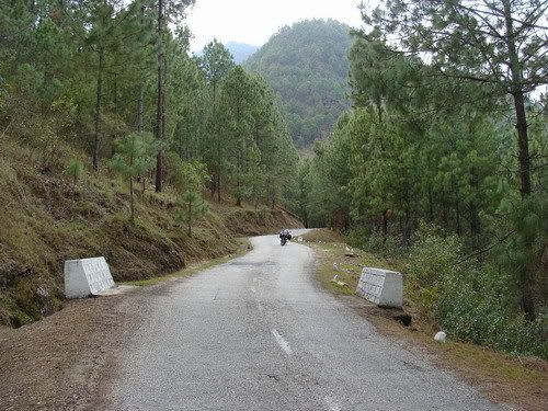
The beautiful road between Thimpu and Paro...
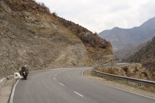
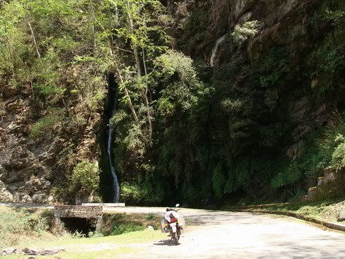
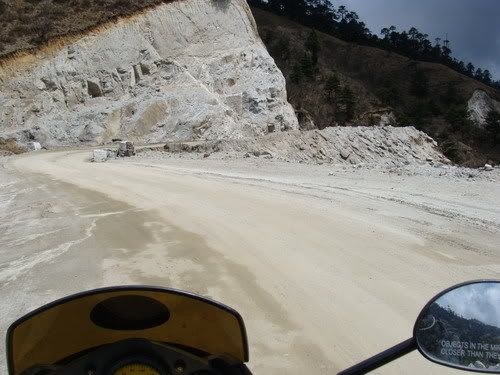
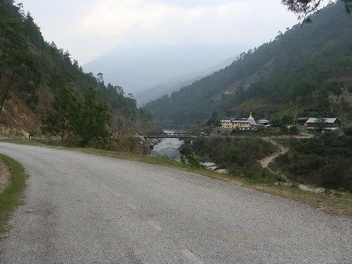
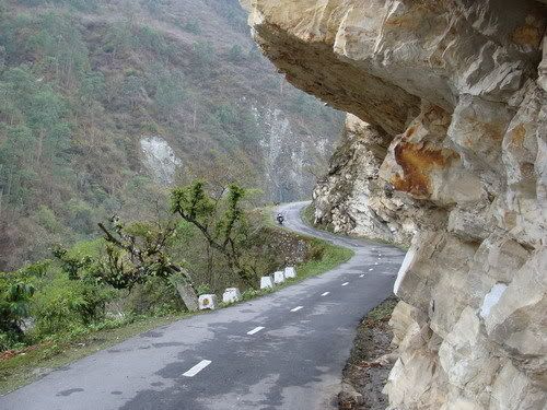
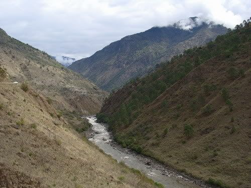
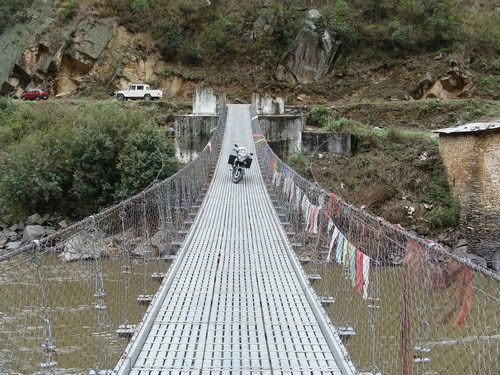
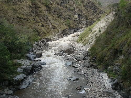
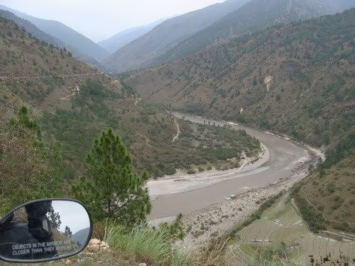
Crossing chuzome and towards paro....


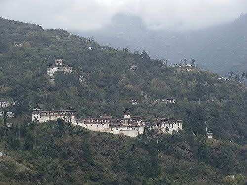
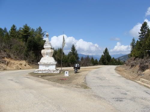
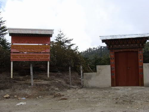
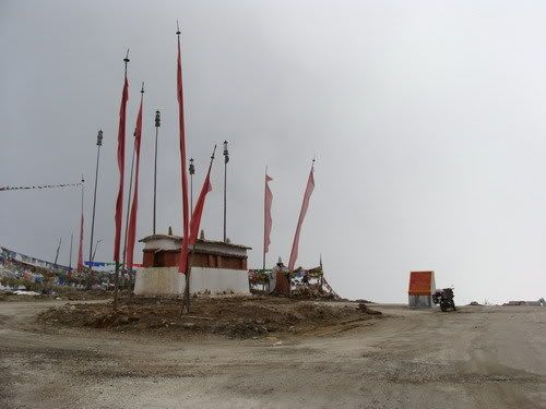
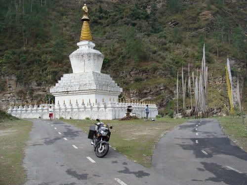
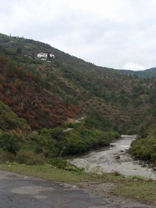
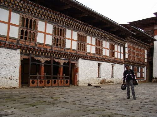
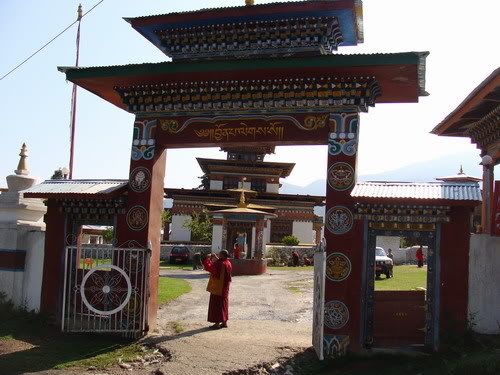
The Paro Zongh... Did not go in as i had other plans...

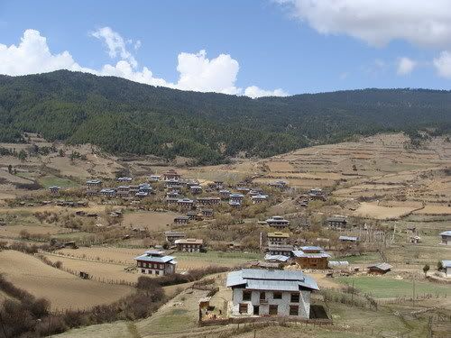
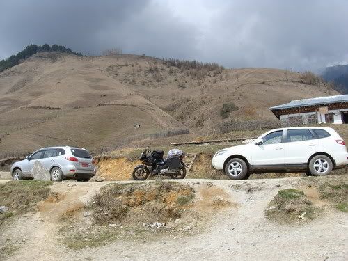
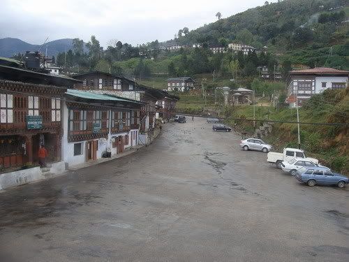
Paro town... again i am thinking of swiss land...

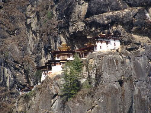
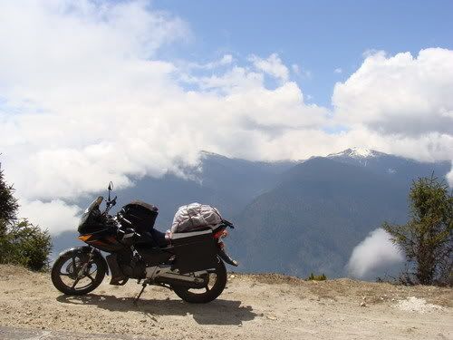
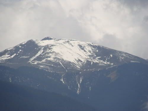
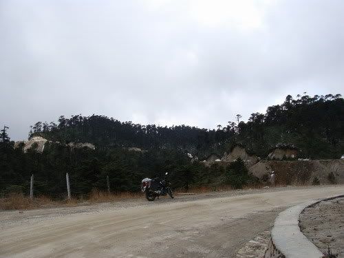
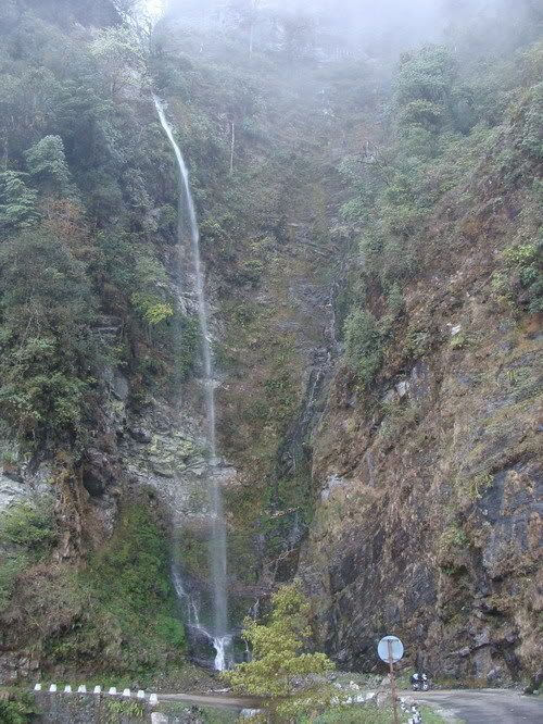
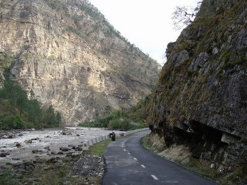
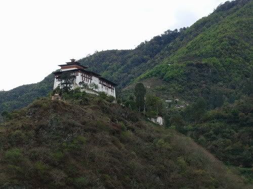
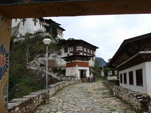
First view of Takshakt

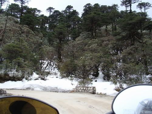
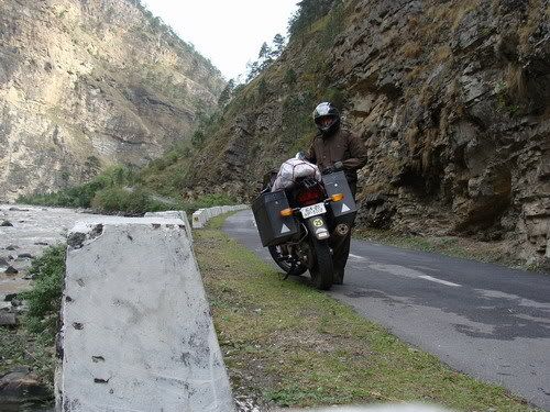
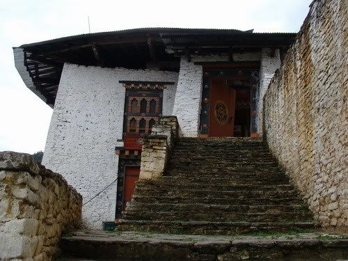
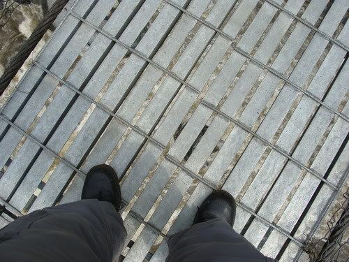
Then trek starts here...


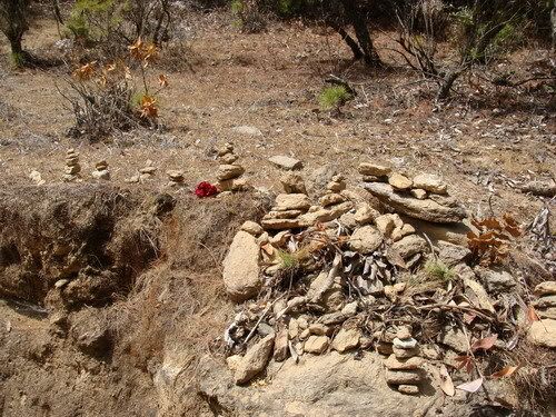
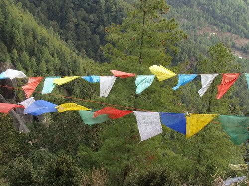
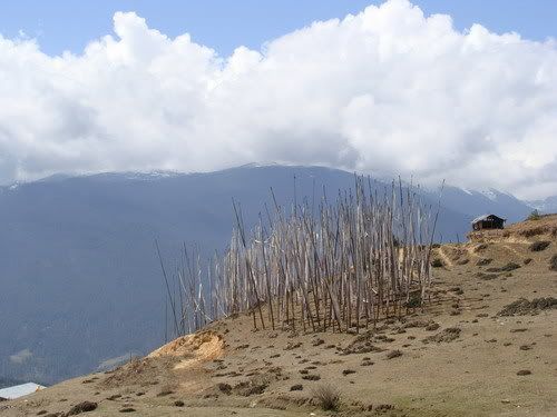
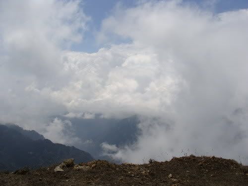
People used to make these stone piles and leave...
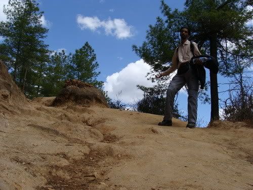
Man its really getting tough to hike up...
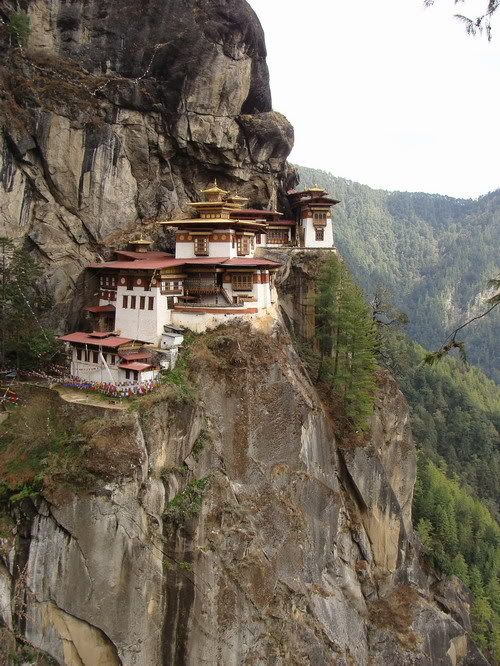
There it is hanging in by the side of the rock...
Wished one of those Mules carried me...

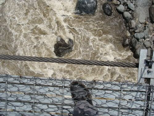
Now that was a scary road block, what if one of them wanted to strech their leg muscles just as i pass by!!

These old ladies do the trek every day and i am running out of breath!

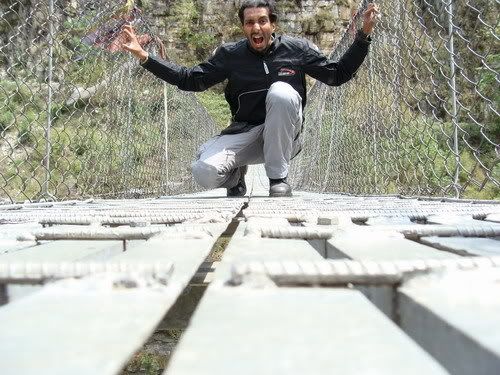
Yup i did it all the way up. But thats not it.. lot more to go...


Lot more steps to climb up and down...


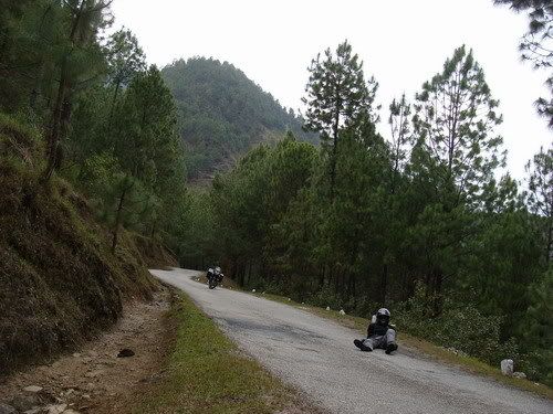
On the way back it got real cold and i gear up for the lonely decent...


These women were playing dart game in bhutan style. No she was not aiming at me :P


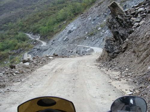
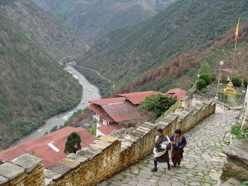
The way down...


Returning to Thimpu...

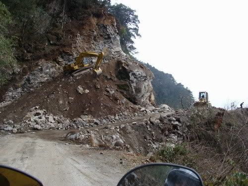
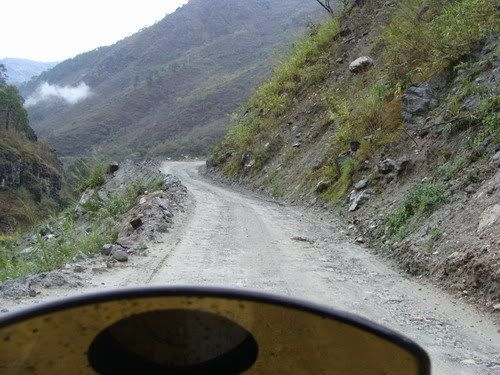
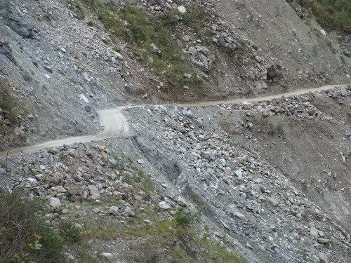
I remembered riding next to the run way and now i am above it. Then realized i am on the wrong road!!!

GPS Trail...
April04 - EveryTrail
150 KMs
Though the plan was to get up early and start towards paro, now that i lost the fone, i needed to get a new sim, else dad would be too worried if no contact. wait till 9 Am for the shops to open get a replacement sim. Was still upset and distracted from the planning. Since it was already 10.30 by the time i got going, decided to skip Haa valley. First time i see sunlight in Bhutan as if to kinda cheer me up! Rode towards paro on the awesome road. Checked out the deviation to Haa valley and it would be like 140 KM round trip. With the 30 kmph avg speeds that happens in the hill country did not have the 4 hours required. Continue on towards paro and nonethe less beautiful roads and the landscape also dramatic. Getting to the magnitued of the hills on the clear sky. Cross the paro international airport. Did not stop at paro zongh as i was already late for the Takshakt. Which required like 2 our trek up.
After a confusion got on the correct road. Catch glimpses of the Geomba perched high up on the side of the cliff. Ride to the point where i have to park the bike and trek. See lot of vehicles already there and few people coming back. Just started walking with my riding gear. Big mistake i got sweaty in no time! This would cause too much discomfort later. The sun was also bright and the climb got steeper and steeper. What am i doing? i am no trekker and here i am carrying a heavy bag on the back and a riding jacket in one had and a bottle in the other. While i see the trekkers lightly dressed and with sticks. It got tougher and tougher for me. I was like going up with 6-7 inches steps! Thought will make it till the half way cafeteria have food and turn back as i was already hungry. Saw a mule and the handler going down but it had no seat
i walk up slowly and find more and more tourists coming back down. Now i know i am not in regular time to visit the place. Non the less slowly make it to the half way point and there was a right to cafeteria, dunno what got into me, i just went straight ahead for the climb! Am i going all the way up ? looks like! The new woodland leather boots not really helping. Finally huffing and puffing i make to a point where we can clearly see the monastery and got exited too soon. Now there are like hundred are more steps to climb down and again up! You gotta be kidding me. At least getting down will be easy and will see later.Me not much of a trekker this was really strenuous for me. I make it to the main entrance in like 2 hours from the base. Then i flash my permit to enter. The army guard tells me he needs a Xerox, so i should go down and get it. I laughed and said thats not going to happen, no way i am going to do the climb again! Then he made an exception and allowed me in, but cam and fone not allowed. I went in famous monastery all the way to the sanctum sanctuary and it really felt peaceful inside. sat there for a couple of mins and its time to move back. Its already 3 pm. Collect the pure mountain water into a bottle and start my walk back. get down the first section of steps and now have to do the climb. It was painful i mean painful and i had no choice but to get on with it. After gathering all the energy i climb up all the steps and its decent from now on. I sit there on the platform, resting my back and staring at the mountains and cool breeze. I catch sleep and even start dreaming! Was like half hour when i woke up! It was a very nice power nap! Thought it was going to be easy decent then on but i was wrong. Getting down is not easy as well. Its quite tiring. Even foot hurts cos of the new shoes. on the way i see these sovaneer seller women playing target practice. Basically kept a wooden piece a lil far and throw projectiles at it. It had a sharp edge at the front of the wood and even a direction stabilizer fins at the back! Taking a few pix i continue.
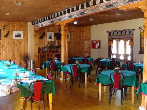
By now i am all alone as most of the people who come here do it in the morning so as to avoid possible rain in the evening. But not me almost down it rains! To tired to get into the rain gear take shelter under a tree. Luckily the rain stops soon and get to my bike. Ride till the paro town for some food. Damn am i hungry. Found a nice neat lil hotel calls Travelers hotel! Steamy veg momos and fried ride for me. Have to get to Thimpu now and its past six o clock. 53 kms easy is it? Its cold and i mean really cold, especially since the road was good and tended to speed up. Pack properly with what all i had and make a quick ride to Thimpu. The riding gear which had caught sweat in the morning trek now causing shivers inside. Trekking and biking dont mix!. Any sweat in the riding gear will be very taxing as the temperature goes down. After reaching Thimpu, should have got on to updating the travel dairy, but the fone episode still haunting me so just slept for the day.
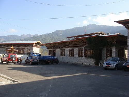
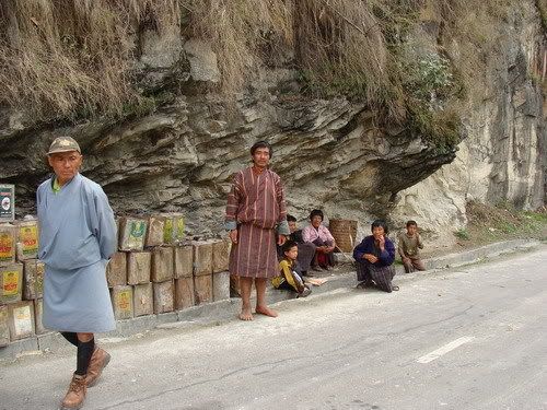
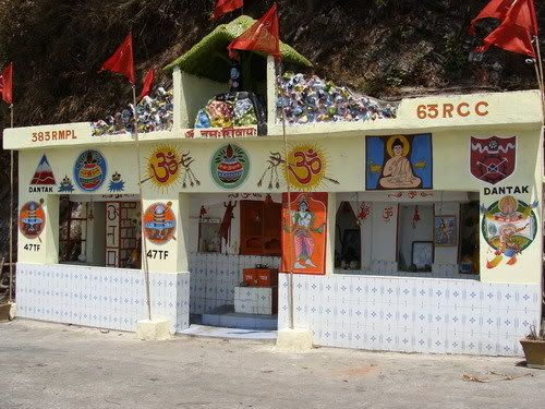
Activity in a school...
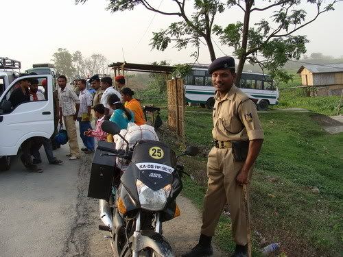
The direction notifier Girl!
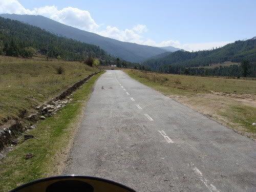
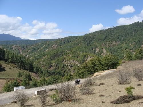
The beautiful road between Thimpu and Paro...
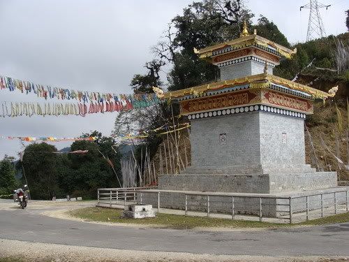
Crossing chuzome and towards paro....
The Paro Zongh... Did not go in as i had other plans...
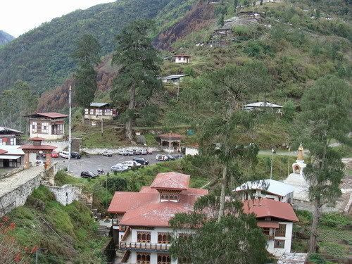
Paro town... again i am thinking of swiss land...
First view of Takshakt
Then trek starts here...
People used to make these stone piles and leave...
Man its really getting tough to hike up...
There it is hanging in by the side of the rock...
Wished one of those Mules carried me...
Now that was a scary road block, what if one of them wanted to strech their leg muscles just as i pass by!!
These old ladies do the trek every day and i am running out of breath!
Yup i did it all the way up. But thats not it.. lot more to go...
Lot more steps to climb up and down...
On the way back it got real cold and i gear up for the lonely decent...
These women were playing dart game in bhutan style. No she was not aiming at me :P
The way down...
Returning to Thimpu...
I remembered riding next to the run way and now i am above it. Then realized i am on the wrong road!!!


Comment